Home | Hiking | Reunions |
Excursions with Sophie
2014 NC Coast Trip ~ Overview 1 ~ Overview 2 ~ Overview 3 ~ Old Burying Ground ~ Overview 4 ~ More Information
Anne and Jill Go to the Coast of North Carolina ~ May 2014
Overview Page 1
Jill Total Miles (Nebo Round Trip): 1,397.0 ~ Anne Total Miles (Hendersonville Round Trip): 1,522.7
The "More Information" page contains links to information about many of the places we visited.
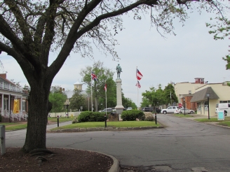
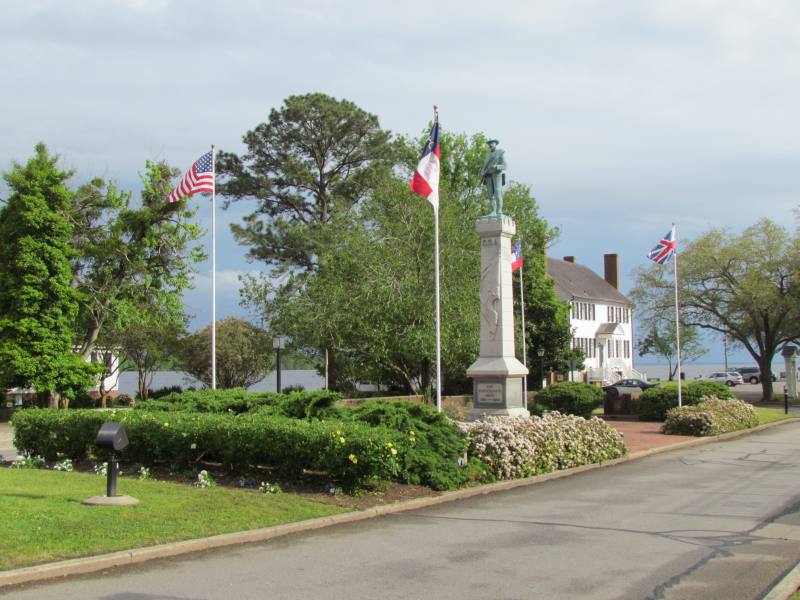
Day 1, Friday, May 2 ~ Home to Edenton and Elizabeth City
 |
 |
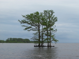 |
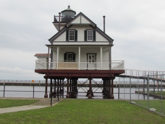
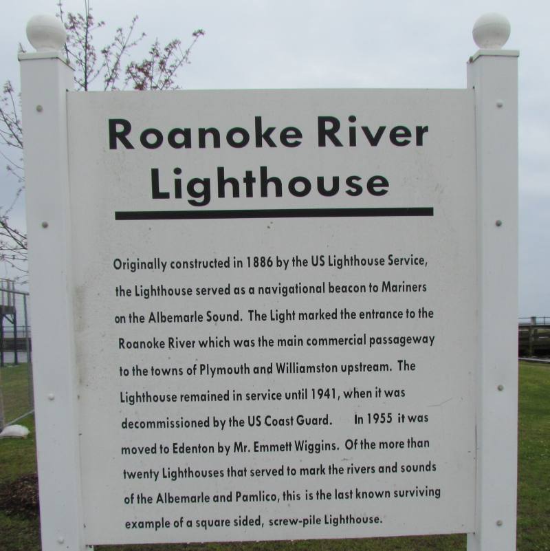
| Entrance to park in Edenton ~ Another View | Roanoke River Lighthouse ~ Sign | Cypress trees |
 |
 |
 |
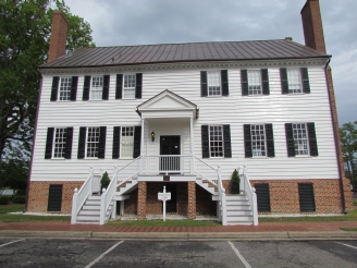
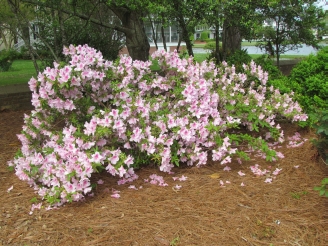
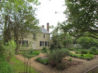
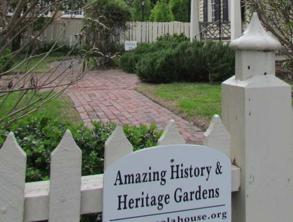
| The Barker House ~ CA 1782 | Azaleas at the Barker House | Edenton |
 |
 |
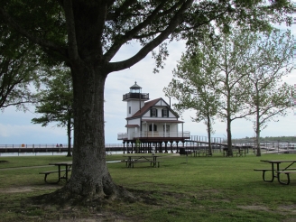 |
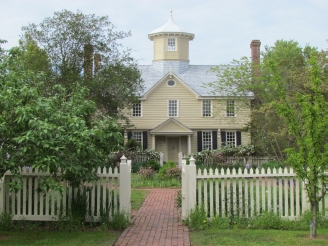
| The Cupola House ~ Sign | The Cupola House Garden | Waterfront park & Roanoke River Light |
Day 2, Saturday, May 3 ~ Great Dismal Swamp, Currituck Beach Lighthouse, and Currituck Banks National Estuarine Research Reserve (looking for the wild horses but didn't see any)
 |
 |
 |
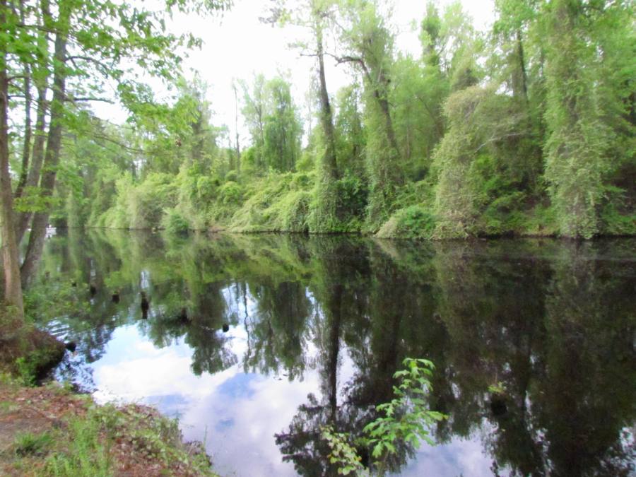
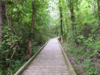
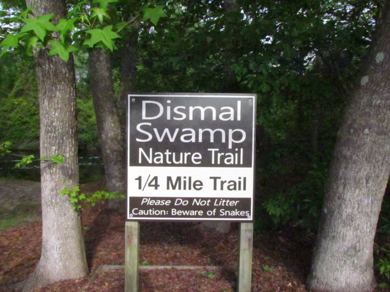
| Short Tail ~ sign | Dismal Swamp Canal ~ view from short trail Click on photo for larger image. |
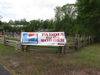
Big event ~ Paddle for the Virginia Border |
 |
 |
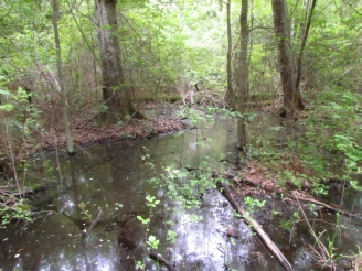 |
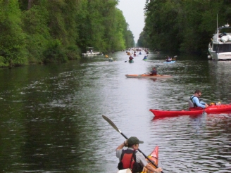
| Paddlers | Dismal Swamp Trail | Dismal Swamp |
 |
 |
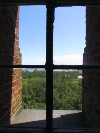 |
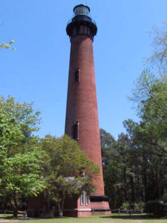
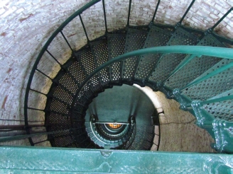
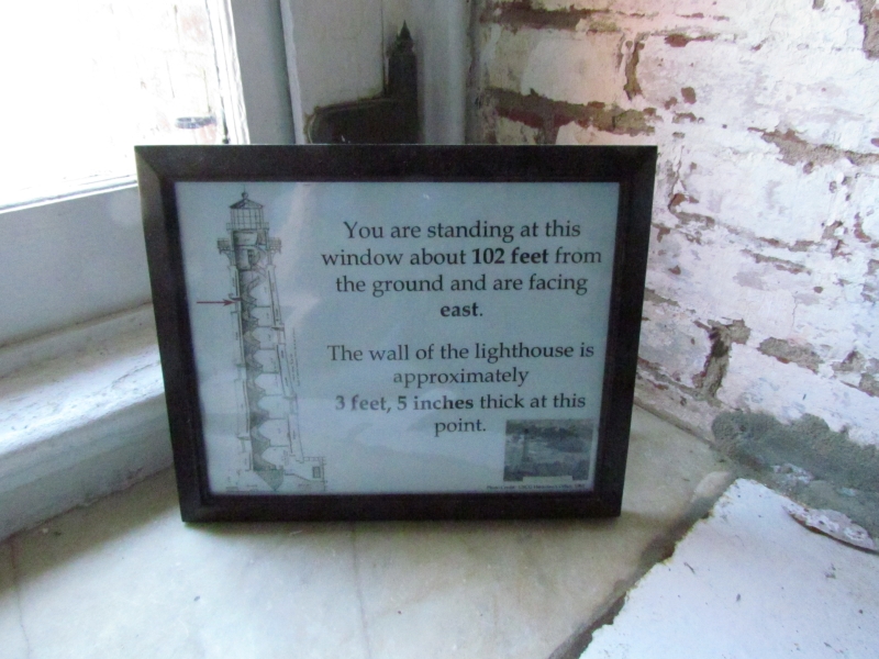
| Currituck Light | View of entrance from first landing | View at 102 feet ~ Sign |
 |
 |
 |
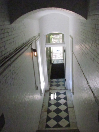
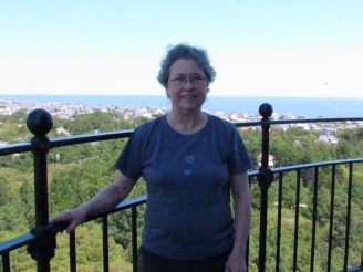
| Looking down from top landing | Anne at top of Currituck | |
 |
 |
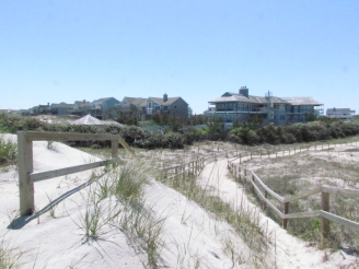 |
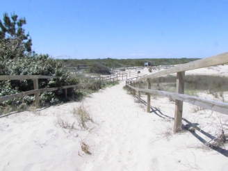
| View from the top of the Light | Trail at the northern end of Highway 12 | Houses near the trail |
 |
 |
 |
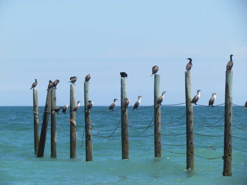
Cormorants on a fence |
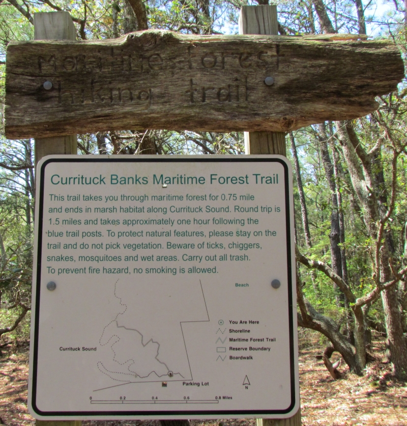
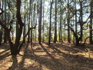
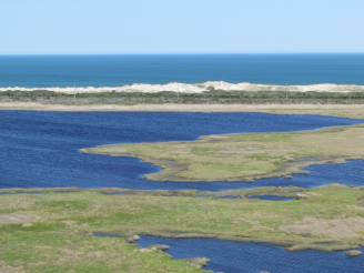
Currituck Banks Reserve ~ We walked both the Maritime Forest & the Boardwalk Trails to the Sound ~ Click on photo for larger image. | Maritime Forest |
 |
 |
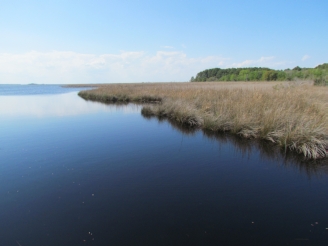 |
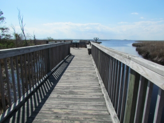
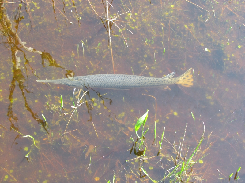
| Currituck Sound Boardwalk | Long-nose gar ~ Click on photo for larger image. | Currituck Sound |
 |
 |
 |
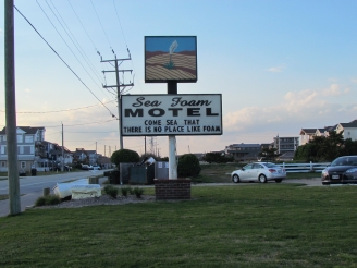
| Sunset at Sea Foam Motel, Nags Head ~ Be sure to read about the motel on the More Information page. | ||
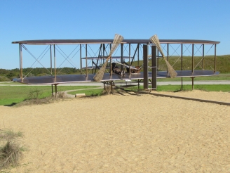
Day 3 ~ Sunday, May 4 ~ Wright Brothers National Memorial, Jockey's Ridge State Park, Ft. Raleigh National Historic Site, Elizabethan Gardens (didn't go in ~ looked through fence), Bodie Island Lighthouse
 |
 |
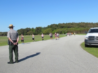 |
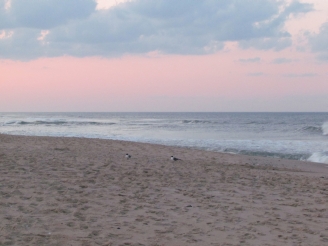
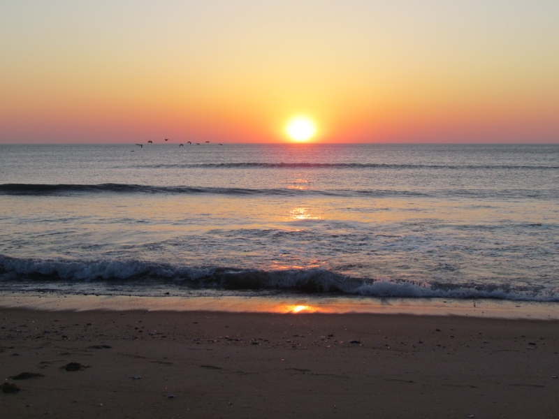
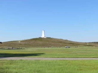
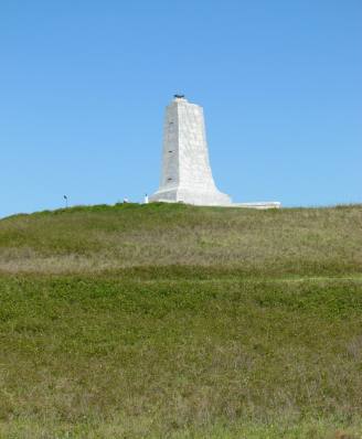
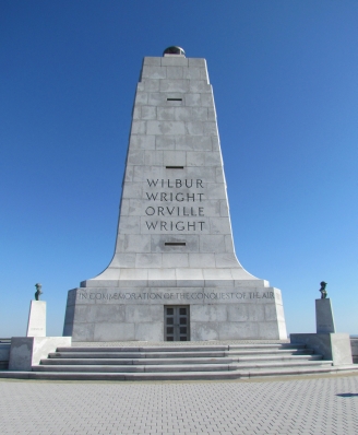
| Sunrise at Sea Foam ~ Click on photo for larger image. | Wright Monument | There was a half-marathon in progress. |
 |
 |
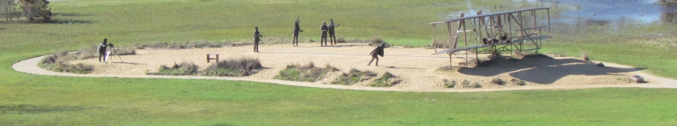 |
| The Wright Memorial | Sculpture with cars waiting for runners in the background. ~ Click on photo for larger image. | |
 |
 |
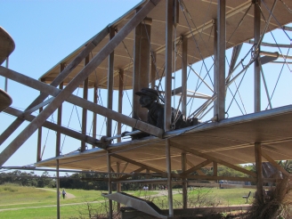 |
| Sculpture of the Flyer | ||
 |
 |
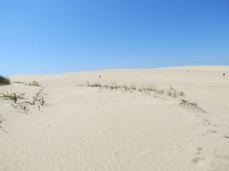 |
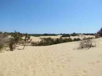
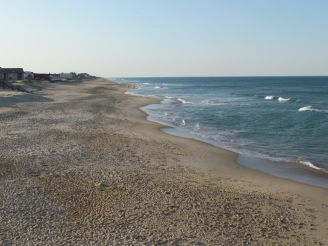
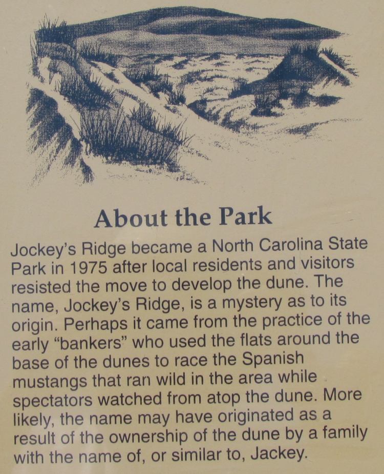
| Jockey's Ridge State Park | Sign about Jockey's Ridge | Jill way off in the distance (dot left of center) |
 |
 |
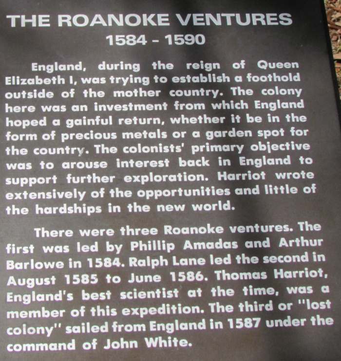 |
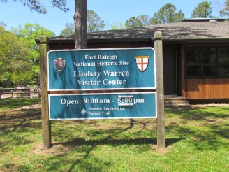
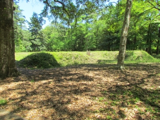
| Ft. Raleigh National Historic Site | Earthworks at Ft. Raleigh | The Roanoke Ventures Click on photo for larger image. |
 |
 |
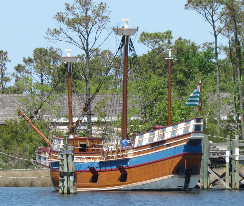 |
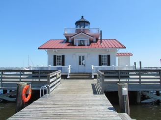
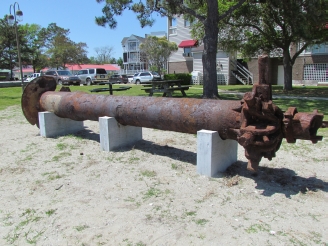
| Roanoke Marshes replica lighthouse, Manteo | Screwpile for anchoring lighthouse | Queen Elizabeth II ~ Click on photo for larger image. |
 |
 |
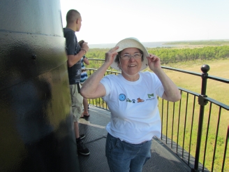 |
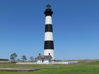
| Bodie Island Lighthouse (pronounced "body") | View from top of Bodie Light | Anne ~ 35 MPH winds at the top |
 |
 |
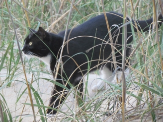 |
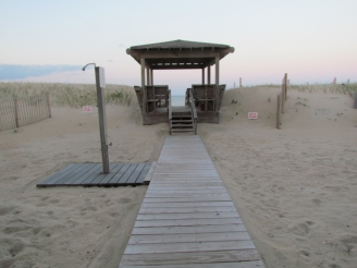
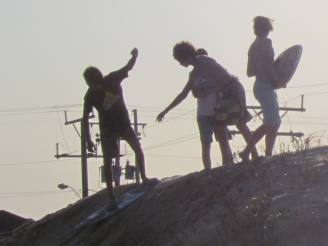
| Boys playing on dune at Jennette Pier | View from Jennette Pier | One of the Resident Cats at Sea Foam |
Home | Hiking | Reunions | Excursions with Sophie
2014 NC Coast Trip ~ Overview 1 ~ Overview 2 ~ Overview 3 ~ Old Burying Ground ~ Overview 4 ~ More Information
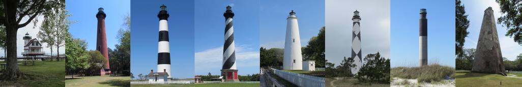
Lighthouse photos in header in order of trip: Roanoke River ~ Edenton (1886), Currituck Beach (1875~150'), Bodie Island (1872~150'),
Cape Hatteras (1870~210'),
Ocracoke (1823~77.5'), Cape Lookout (1859~150'), Oak Island (1958~155'), Bald Head Island ~ "Old Baldy" (1795~110').
Site Photo Credits: All Anne S. Napier except as noted. Photos of Anne by fellow travelers.
Updated October 11, 2014